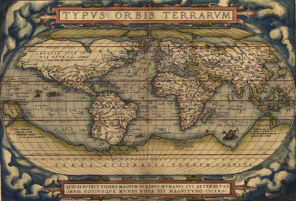
In the realm of cartography, a groundbreaking study by Remi Petitpierre is reshaping our understanding of how maps evolve and reflect cultural, political, and historical contexts. By leveraging a vast corpus of digitized maps, Petitpierre’s research offers unprecedented insights into the intricate world of cartographic heritage.
The study utilizes a massive dataset comprising 771,561 map records and 99,715 digitized images, sourced from 38 digital catalogs. This dataset, spanning six centuries from 1492 to 1948, includes contributions from 236,925 individuals. This wealth of data allows for a comprehensive analysis of geographic structures and the global chronology of map publication. Petitpierre’s work highlights the spatial focus of cartography in relation to political dynamics, revealing fascinating connections between Atlantic maritime charting, the triangular trade, and colonial expansion. The research also documents the progression of national and domestic cartographic focus, as well as the impact of military conflicts on the volume of map publications.
One of the most innovative aspects of Petitpierre’s research is the application of semantic segmentation techniques and object detection models. These advanced methods enable the recognition of land classes and cartographic signs, trained on annotated data and synthetic images. The analysis of land classes reveals that maps are meticulously designed images, with framing and composition emphasizing features through centering and semantic symmetries. This finding underscores the symbolic and semantic nature of maps as cultural objects that reflect political and epistemic expectations.
The study of cartographic figuration is another highlight of Petitpierre’s work. By encoding 63 million signs and 25 million fragments into a latent visual space, the research uncovers figurative shifts such as the replacement of relief hachures by terrain contours. It also shows that signs tend to form locally consistent systems, providing a deeper understanding of the evolution of cartographic practices. Analyses of collaboration and diffusion further highlight the role of legitimacy, larger actors, and major cities in the spread of figurative norms and semiotic cultures.
Petitpierre’s research not only advances our knowledge of cartographic heritage but also opens new avenues for the application of digital techniques in the study of historical and cultural artifacts. By bridging the gap between automated content extraction and the history of cartography, this work paves the way for future investigations into the rich tapestry of human knowledge and cultural expression.
The implications of this research extend beyond academia, offering valuable insights for heritage institutions, historians, and policymakers. Understanding the evolution of cartographic practices can inform the preservation and digitization efforts of cultural artifacts, ensuring that our collective heritage is safeguarded for future generations. Moreover, the study’s findings can contribute to the development of more sophisticated digital tools for analyzing and interpreting historical documents, enhancing our ability to uncover the stories and contexts they contain.
In conclusion, Remi Petitpierre’s study represents a significant leap forward in the field of cartographic research. By harnessing the power of digital technology and big data, this work provides a nuanced and comprehensive understanding of the cultural and political dimensions of map-making. As we continue to explore the vast landscapes of human history and culture, Petitpierre’s research serves as a guiding light, illuminating the intricate pathways of our collective past. Read the original research paper here.